Edition 2025.
Inland waterway chart Netherlands North, Friesland – Arnhem.
Format: Papier, digital download und App.

Secure & quick payment!

Quick delivery with PostNL!
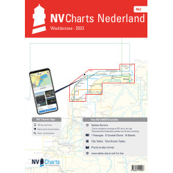
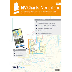
This atlas covers the regions of Friesland, Groningen, Drenthe and Overijssel and extends as far as the Rhine near Arnhem. In the west there is a seamless connection to the Ijsselmeer coverage of nv charts NV NL3 while in the north the charts NV NL2 "Waddenzee" and NV DE13 "Ems und Ostfriesland" connect. The Staande Mastroute to the Ijsselmeer is included.
Data sheet
Edition 2025.
Inland waterway chart Netherlands North, Friesland – Arnhem.
Format: Papier, digital download und App.