
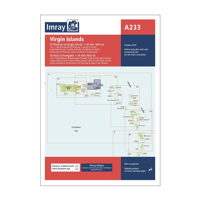


Double-sided sheet combining charts A231 and A232
Edition date 2023.
Printed and corrected to December 2023.

Secure & quick payment!

Quick delivery with PostNL!
St Thomas to Virgin Gorda
Plans included:
Charlotte Amalie (St Thomas) (1:30,000)
Cruz Bay (St John) (1:20,000)
Road Harbour, Sea Cow Bay & Nanny Cay Marina (Tortola) (1:20,000)
Benner Bay (St Thomas) (1:20,000)
Great Camanoe to Scrub Island (1:20,000)
On this 2016 edition the latest depth surveys have been applied. The latest information on the works to extend Nanny Cay Marina are included. The chart specification has been improved to show coloured light flashes. There has been general updating throughout.
Tortola to Anegada
Plans included:
Road Harbour & Approaches (Tortola) (1:20,000)
Virgin Gorda Yacht Harbour (Virgin Gorda) (1:20,000)
South Sound (Virgin Gorda) (1:20,000)
Gorda Sound (Virgin Gorda) (1:25,000)
Great Camanoe to Scrub Island (1:20,000)
Fat Hogs Bay & Maya Cove (Tortola) (1:20,000)
On this 2016 edition the latest depth surveys have been applied. The chart specification has been improved to show coloured light flashes. There has been general updating throughout.
Data sheet
Double-sided sheet combining charts A231 and A232
Edition date 2023.
Printed and corrected to December 2023.