


Edition date 2014.
Printed and corrected to Januari 2024.

Secure & quick payment!

Quick delivery with PostNL!
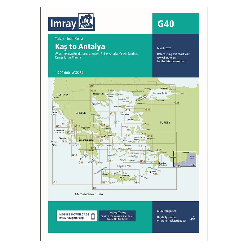
Scale: 1:200,000 WGS 84
Imray
Plans included:
For this 2014 edition the chart has been fully updated and modernised. The latest known depths are shown around Kas, Kekova Roads and Antalya Harbour. Harbour depths at Üçagiz are also displayed, as are the recently deployed AIS transmitters across the chart.
Data sheet
Edition date 2014.
Printed and corrected to Januari 2024.


