
Editie 2023 verwacht eind maart 2023
Levertijd 3-4 werkdagen.

Veilig & snel betalen!

Snelle levering met PostNL!
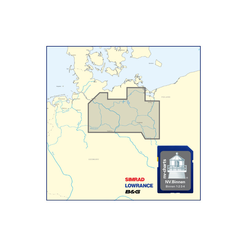
Product description nv charts german inland water ways SD / microSD Card
compatible with
Lowrance: HDS units
Simrad: NSE, NSS, NSO
B&G: all units Zeus series
• high quality cartography
• remarkable data also off the beaten tracks
• many own resurveys
• Includes harbor & anchorage plans
• Recommended Courses
• covers nv charts Region Binnen
The nv-charts are characterized by fine contours and easy to distinguish color graduations of the depth lines – red for the 2-meter-line and blue for the 5-m-areas.
The importance of good graphical representation of the topography when sailing is essential. Well marked rivers, towns and street plans all help to give a clear overall view of the shore side facilities of the islands.
In waters soundings and heights are given in meters. Large scale approaches and land contour markings simplify the entrance into anchorages.
Datasheet
Editie 2023 verwacht eind maart 2023
Levertijd 3-4 werkdagen.