NO 3 NV.Atlas Norge Oslofjord Øst - Kristiansand til Kragerø
Editie 2026 leverbaar medio april

Veilig & snel betalen!

Snelle levering met PostNL!
Format: Kombipack Papier / Digital download and App
• Passage Charts
• Coastal Charts
• Details
• Harbour Plans paper & digital
The NV. Atlas Norge NO 3 NV.Atlas Norge Oslofjord Øst - Kristiansand til Kragerø includes:
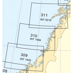
Passage and overview charts (scales from 1:1.400.000 to 1:120.000),
coastal charts (scale 1:40.000) and harbour details scales 1:5.00 to 1:25.000).
The combipack includes overview charts covering the entire Norwegian coast (scale 1:1.400.000) giving general information on currents.
The combipack appears in nv charts new handy Atlas format (A3) and includes paper and digital charts, as well as a navigation software and nv charts free navigation app for mobile devices and tablet PC's. nv charts for the Norwegian coast are based on official Norwegian HO data.
They include numerous harbour details and approaches, passages and anchorages of the given area, including sketches and plans from the “Norske Los” and special charts for the Blindleia and Jomfruland. The clear structure makes finding harbour details or anchorages a matter of seconds. In this way the mariner gets quick access to all important navigational information.
All information is also shown in the nv charts App.
The cartography captivates through well-chosen sheet cuts and ideal scales: e.g.coastal charts scale 1: 40.000.
Datasheet
NO 3 NV.Atlas Norge Oslofjord Øst - Kristiansand til Kragerø
Editie 2026 leverbaar medio april